50,00 €
Description
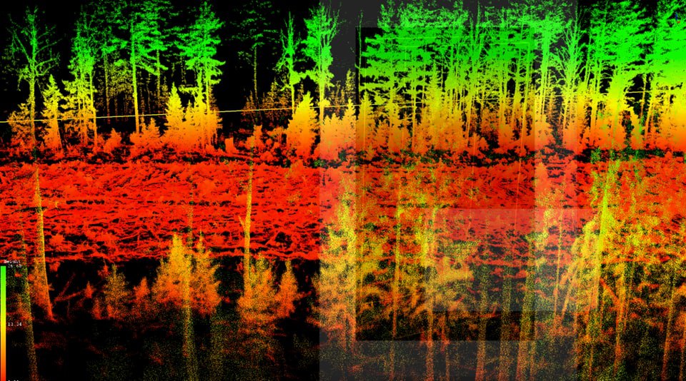
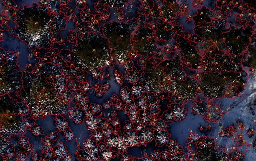
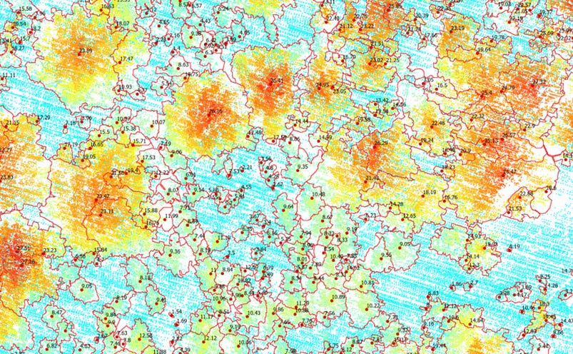
Forgis Oy has developed in 2015 tree wise forest inventory based on precise data from drones (photogrammetry, lidar). With our technology traditional field measurements are limited only for quality control. With our technology each tree is located and measured from UAV data (precisely georeferenced photographs, photogrammetry point clouds, lidar point clouds, mobile lidar data). Our technology is able to replace traditional sample plot measurements in large scale forest inventories. We process your UAV camera data, UAV Lidar data into tree wise forest management inventory results for each tree:
- Location, XY
- Height, m
- Breast height diameter, cm
- Canopy diameter, m2
- Canopy area, m2
- Species
- Timber volume, m3
- Timer assortments, m3
- Value by timber assortments, euro
- Total tree value, euro
- Carbon amount, kg
- Point cloud/mesh for each tree
In case of several drone flights the following additional parameters will be provided:
- Changes in the tree status
- Height increment, m
- Breast heigh


